It doesn't matter where we go unless we show how to get there. I consider this step even before service goes live.
Example Projects
Examples below represent just a few of the Mapping & Info Design projects that I've been involved with. Each graphic + description gives a quick snapshot of an actual project that, in almost every case, generated countless other materials. Please contact me if you'd like to discuss a project in greater detail...

Putting Frequency On The Map
Here was an unusually extensive midsize transit system. I developed the mapping technique to communicate multiple pieces of information: where routes go and how often they run.
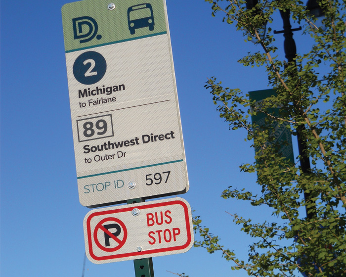
Info Starts Where Buses Stop
Bus stop signs were due for replacement. It presented an ideal chance to spread the route info scheme to thousands of field locations. I created the design; I then wrote specs for aluminum signs and weatherproof decals.
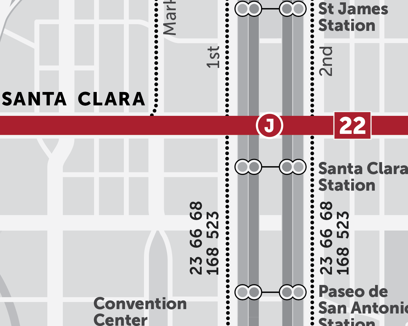
Connection Minus Confusion
In an individual route brochure, the map needed to show two things: the main route and connecting services. I leveraged a limited color palette to organize information. Minor details are visible – but not overwhelming.
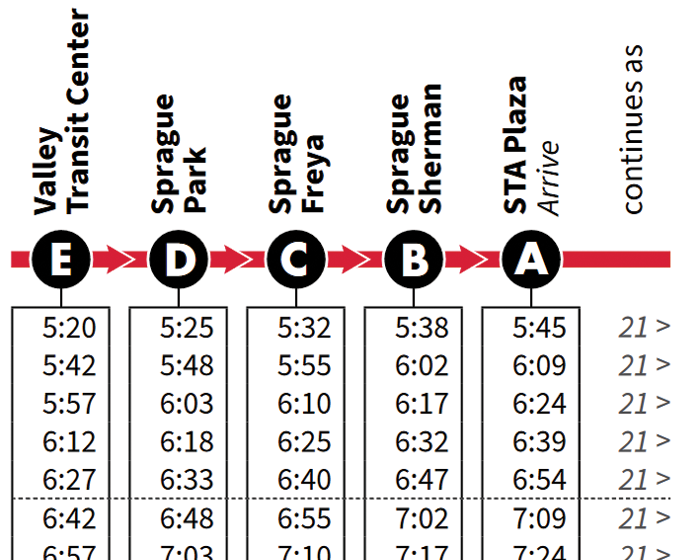
Time Well Spent
Ahh, the timetable. A trove of useful info – but often terrifying to new customers. Considering the importance of schedule info, I set out to design a timetable with more inviting, intuitive graphical cues.
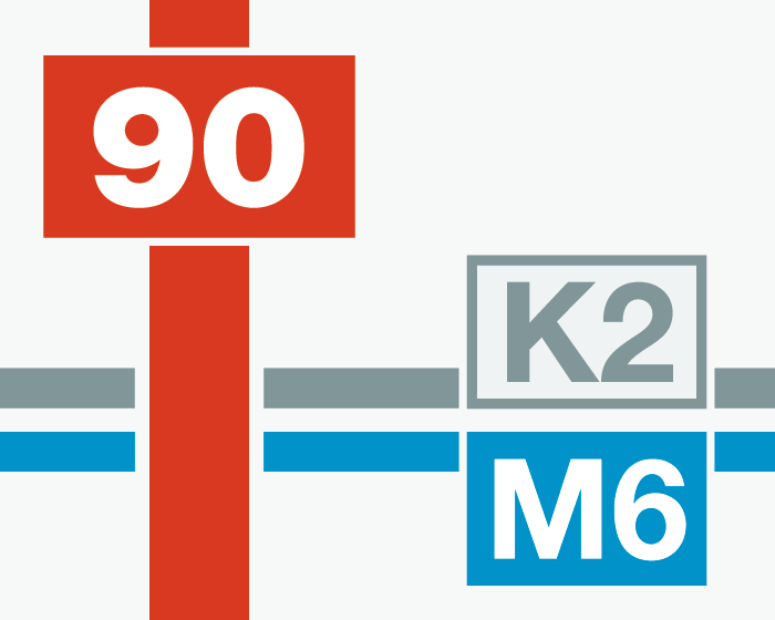
Laying it on Thick
A large bus system relied on complex route designations. To ease the task of decoding route numbers, I developed a color, line and badge scheme. At a glance, the graphics offer hints about service levels.
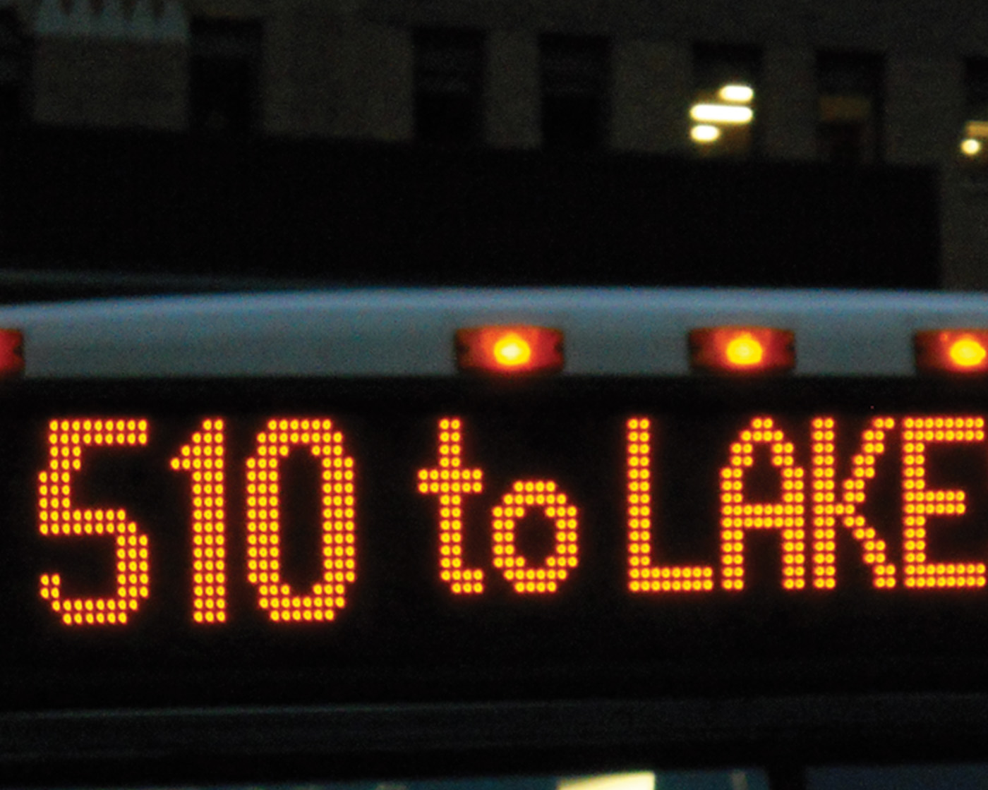
Sign of The Times
Destination sign hardware had evolved, but sign readings were still observing limitations of 1980s-era equipment. I reprogrammed the entire sign set, using clearer descriptions and a custom high-visibility font.
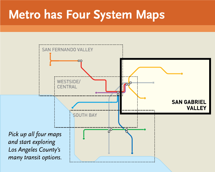
Think Small to Think Big
Nearly 100 agencies provide transit service in this vast metropolitan area. I designed a series of sub-regional maps, showing clear neighborhood-level detail alongside regional connectivity.
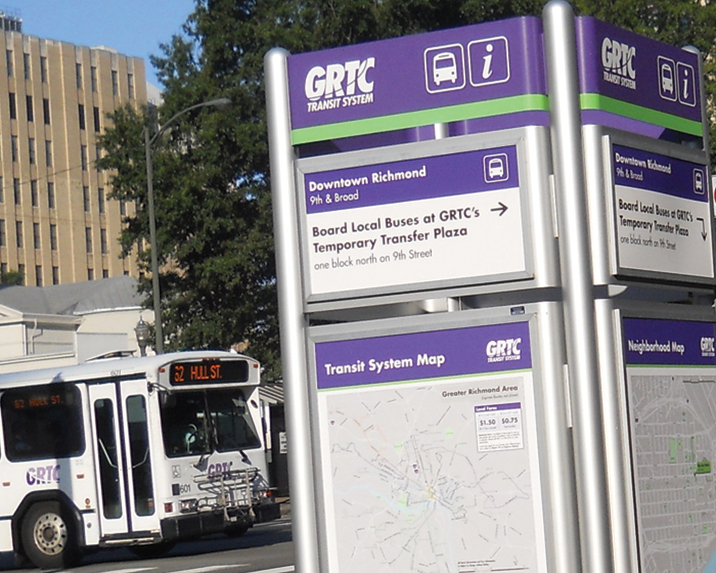
Blocks of Buses
Two dozen routes converge on two city blocks. I took the lead on a wayfinding suite, including walking directions, route listings, site overview maps and schedule information at each bus stop.
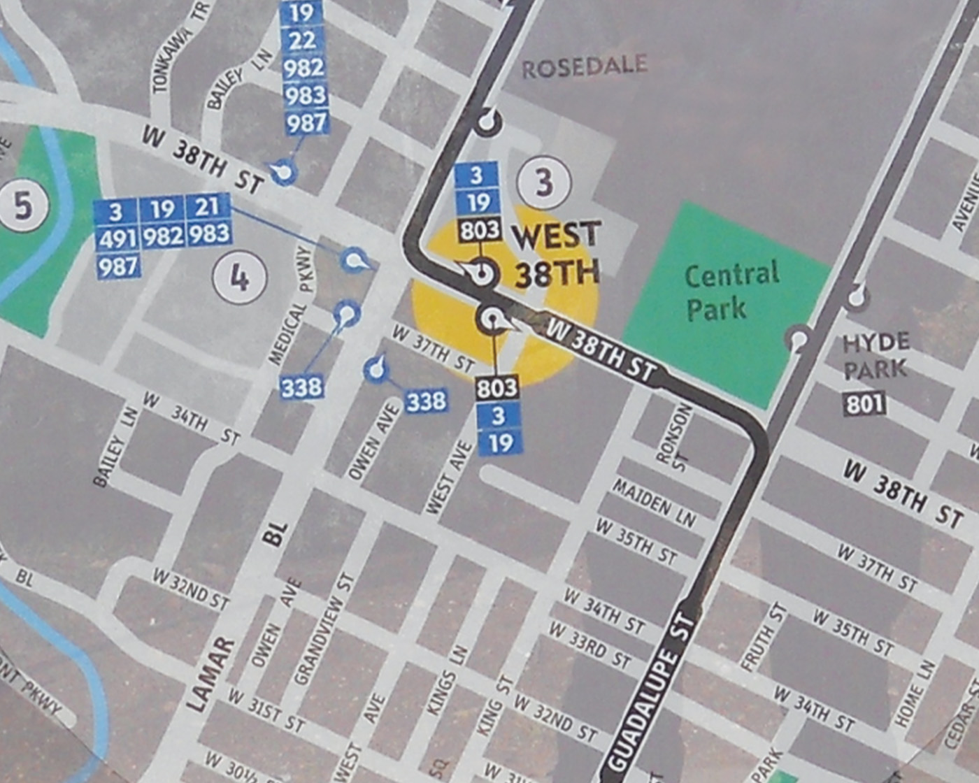
You're In the Neighborhood
Upgraded BRT stations were sprouting up along two busy corridors. I drew neighborhood walking maps to help arriving customers find nearby destinations and transfer opportunities.
My Approach
If you're a regular transit user, reading a map and finding the next trip is second nature. If you're new – or even a seasoned customer going to a new place – it can all appear helplessly confusing. In too many cases, the problem is not that transit is impractical for a trip. The problem is that transit is just too hard to figure out.
It's the age of convenience. It's the era of non-stop information. If transit is to live in this world, our information must be compelling, complete and constant. Transit systems are soaked in info – and it's on us to help people make sense of it. They may never get on board otherwise.
I approach every map and design from the standpoint of a first-time user. It involves thorough fieldwork and a high sensitivity to local context. It results in solutions that are every bit as effortless as they are helpful. If we equip customers with the right info, in the right format, at the right time, we earn their confidence – and their ridership.


